Sunday, 26 September 2021

Zsigmondyspitze (3089 m) with Arno on a dream early autumn day

Friday the 24.9.2021 was the Friday before the last weekend of my holidays. I really like the Zillertal as it can be reached in less than 2 h from Munich and reminds me of Scotland. The forecast predicted a last summer-like weekend with temperatures well over 20 degrees. Because of that, Arno and I met at 7 am at my place. At 9 am, we started walking from the car park of the Breitlahner guest house and walked towards the Berliner Hütte in the early morning sun.

Here is Arno with two stunning waterfalls which must be great ice climbs in winter. 

Here, Arno is leaving the gorge...

... and here is the Berliner Haus, a mountain "hut" (more a hotel) which retains the Gründerzeit charm of the 1880s.

The dining room is like over 100 years ago but we had a coffee and Apfelstrudel outside with glacial views. 

We then went Northwards and the Zsigmondyspitze, the Matterhorn of the Zillertal appeared. It is a 250 m high Gneiss pyramid. 

Here the view to the Southeast with a sad-looking glacier that will disappear in the next 10-20 years,

Here a view to the South. The highest point of that Italy-Austria border ridge is the Hochfeiler (3510 m) which I had climbed in summer with Marco and Heidi the dog. 

We reached a band of snow and ascended that under a deep blue sky to reach the bealach to the East of the Zsigmondyspitze. 
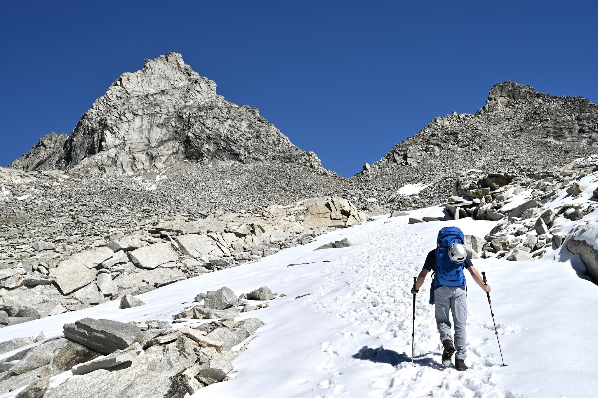
Here, we are nearly there. What a mountain!

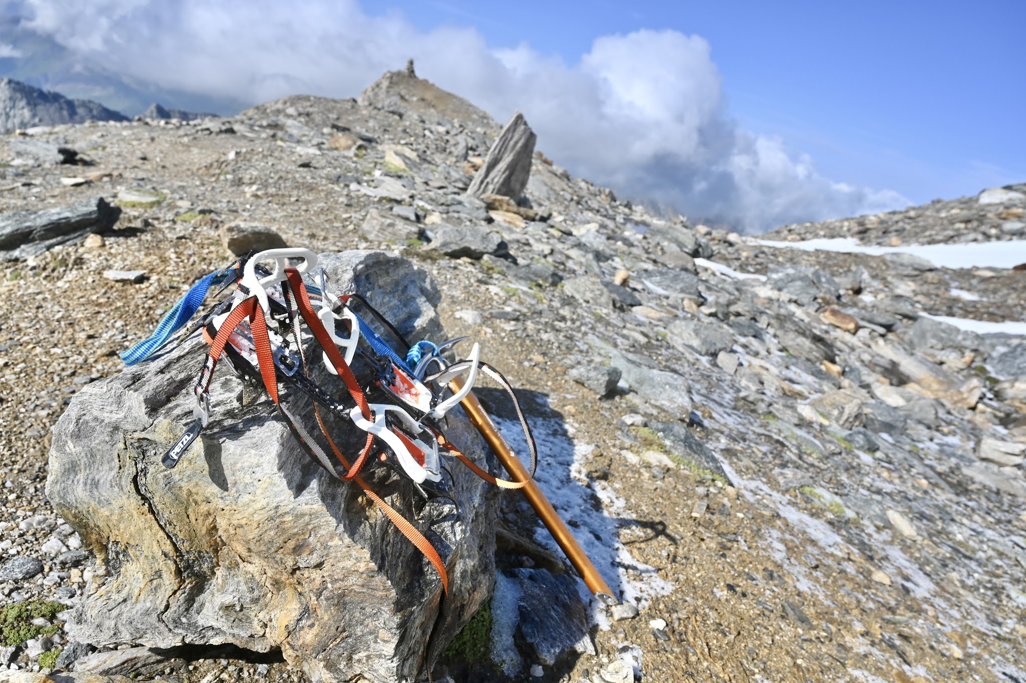
Out of breath from the altitude, we took our time to gear up and start climbing. The rock is excellent Gneiss and it 

After two or three pitches, the easiest line is a walk and then easy friction slabs with some bolts to the left. Here is Arno in a sea of slabs. It is easier than it looks so not like the Etive slabs!

After that a rising walking and scrambling traverse back to the South ridge...

... followed by two more pitches up the ridge and an easy scramble on the right of the edge to the top. 

There are three abseil points and the rest is easy down climbing. Here is Arno preparing one of the abseils...

... here we meet the only other team on the hill...

... and here an exposed abseil back to the base. 

Some days cannot be better. But it was a long day with 1800 m of ascending and descending plus 28 km of walking plus some hours of climbing. 

HW


Zillertal Hoher Riffler (3231 m) in the snow

On the 28th and 29th of August Ana was busy. This meant that I had a weekend for myself but unfortunately the weather forecast was rain, rain & rain. So I checked my mountain books for a 3000 m peak because above 2000 m rain would be snow and snow is much nicer than rain. I decided to attempt the Hoher Riffler in the Zillertal, described as a walking mountain. 

The walk starts at the Schlegeisspeichere, a reservoir surrounded by 3000ers at the end of the Zillertal. There is a 14 EUR Mautstraße up to it, parking included. The first part of the walk goes to the Friesenberghaus. 

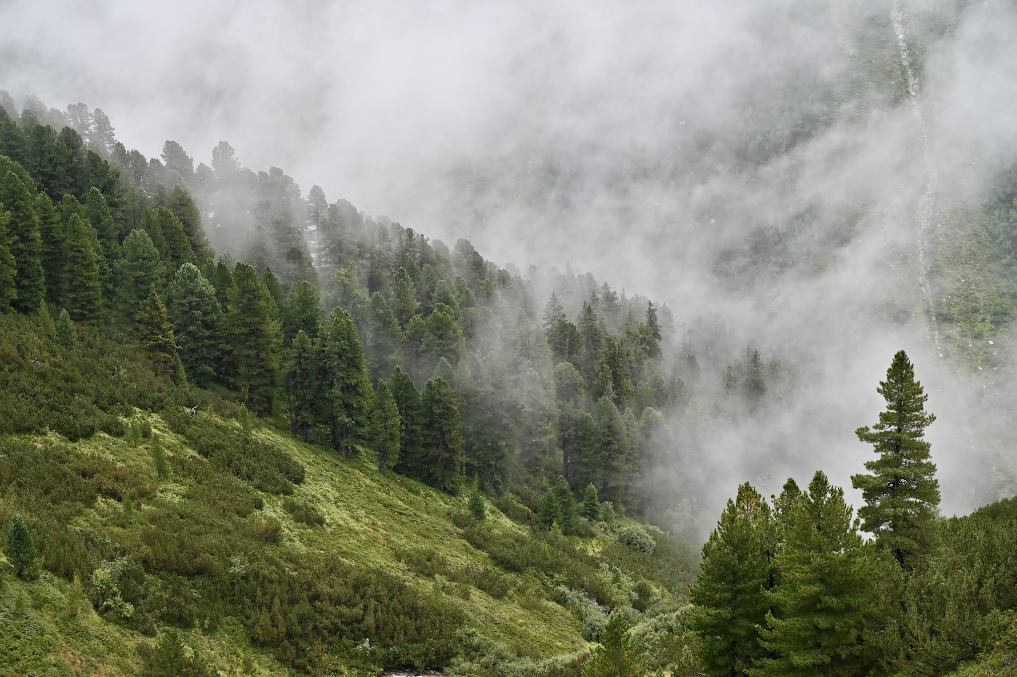
Lovely pine forrests and the grass and vegetation on this misty day reminded me of bonny Scotland. 

This is just around 2000 m.

Here some of the ubiquitous cows... 

... and here a view to the other side of the glen with a first dusting of snow. 

At around 2400 m of altitude, things turned white and again it all reminded me of Scotland. 

I reached the large Friesenberghaus...

... which was built in 1928 by the Berlin section of the German Alpine Club. 

I went past and brewed some Korean noodles under an overhanging boulder. 

The ascent to the Hoher Riffler was a long, long, blocky ridge under 20 cm of snow with little visibility. 

After several hours of scrambling I reached the summit of the hoher Riffler. 

After a long slippery descent I regained the snowline and as temperatures had risen, the snow melted and a lot water cascaded into the glen. 

Again, the misty, green glen reminded me of Scotland. 

An awful weather weekend but a great, challenging 3000 m peak that from time to time sent me down the Scottish memory lane.

HW


Monday, 9 August 2021

Hochfeiler (3510 m) with Marco & Heidi the dog

Marco and I know for many years as we were triathletes in Peine, a town in Northern Germany. He now lives near the Lago di Garda with his Italian wife, two daughters and Heidi the dog. As we are now living near the Alps, we meet regularly. This time, Marco had suggested the Hochfeiler (3510 m), the highest peak of the Zillertaler Alps right on the border between Austria and Italy. We met in Sterzing for lunch and on a wet Sunday, we walked up the Pfitschertal to the Hochfeilerhütte. Here is Heidi the dog, inspecting the lush glen. 

Higher up in the glen we got into a thunderstorm and battled our way to the Hochfeilerhütte at 2715 m (more than twice the height of the Ben). Its a really nice Alpine hut with young staff which feels very different than the secret howff (both are superb in their opposite ways): https://www.alpenvereinaktiv.com/de/bewirtschaftete-huette/hochfeilerhuette/7026248/ 
We had the winter room for ourselves and after dinner and beers we had an early night and rose at 5.50 h, had breakfast just after 6 h and started walking at 6.40 h. Here is the way to the ridge that the rises to the right to the summit of the Hochfeiler. Heidi is in the front and "boyfriend" (aka the shy hut dog) is behind. 

We soon reached the first snow. Heidi is a real mountain dog and loved it. 

In this picture, the lower part of the ridge protrudes in the distance whilst Marco ascends a snowfield. 

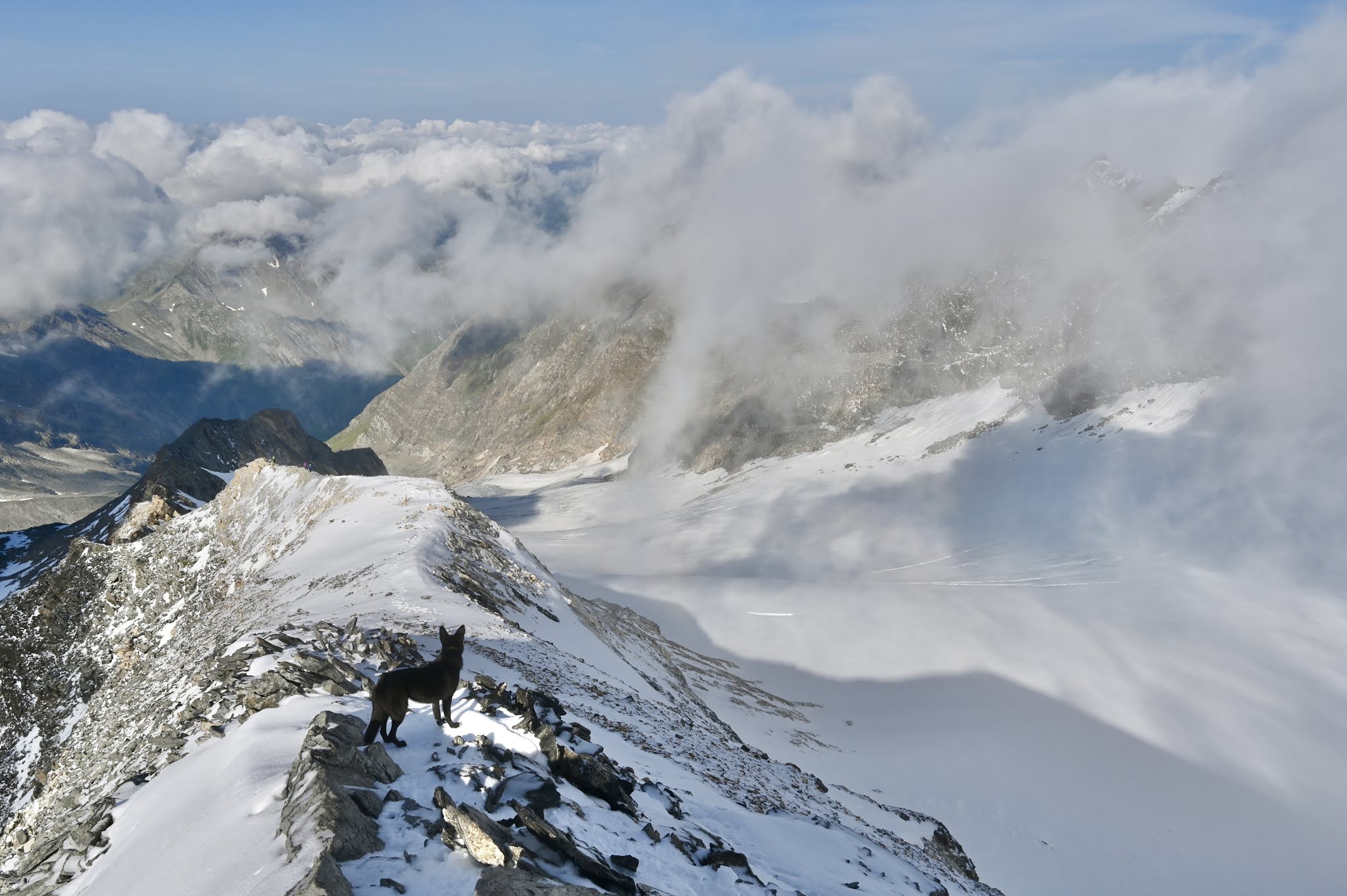
Ahead is the summit, 800 m above the hut at 3510 m. Good that we had crampons and an ice axe. There was a strong, gusting wind and clouds flew over the hill, like during a Scottish winter's day. 

Here are Marco and Heidi making the summit... 

... and here are Marco, Heidi and myself at the summit cross. 

Clouds came and went. Here is Heidi, who had a super day, at the start of the descent.

And here Marco reached a place with sun, less wind. 

I took crampons off and put my shorts on.
Here, we reach the lower slopes of the Hochfeilder ridge with the Hochfeiler hut in the glen below. 


We had a 1 h break and a second breakfast. May my chief cardiologist ignore the next picture, please?


After that we descended back to the car. After the white and then grey upper slopes of the mountains, green and the omnipresent Alpine Gentian reappeared. 

Here, we approach the tree line... 
... and soon entered a world of warm, lush green... 
... to reach our cars. 
A wee bit of mandatory Italian food shopping, over the Brenner and back in Munich in under 3 h. 
HW


Sunday, 25 July 2021

Luftige Kante (V-), Dammkar, Karwendel

Markus Smetan is a study friend of mine and Arno Alpi is my trusted climbing partner. Markus was in our area for mountain action and so we agreed to climb the "Luftige Kante" (airy edge), a seven pitch UIAA V- (UK HS/VS) in the Dammkar of the Karwendel. This is below our normal grade but because of COVID-19, we have not climbed indoors for over a year so no climbing fitness and so we avoided grade VI!

The walk-in starts in Mittenwald and then goes up into the Dammkar to reach the Dammkarhütte. The Dammkar is a gravel amphitheatre but unfortunately, the Karwendel rock is mostly loose so no good/too exciting for climbing. There are some exceptions. One is the Predigtstuhl (not to be confused with the more famous Predigtstuhl at the Wilder Kaiser) to the left/East of the Dammkarhütte and others are ridges such as the Mama-Kante and the Luftige Kante that are to the right/West of the Dammkarhütte. Here is a link to the topo https://bypass.bergsteigen.com/touren/pdf/luftige-kante-dammkar/?showOptions=pdfTopo and here, Markus and Arno are ascending from the Dammkarhütte. The Luftige Kante starts at the rock blades on the right side just below the bealach. 


Here a look down. The Dammkarhütte is on the grassy patch below. Great scenery but hard walking on the stone chute max. 
Here is a women's team that has just started the Luftige Kante. The route has bolted belays. In addition, there are poor quality "Sticht-Haken" plus some modern bolts in a few places where it matters. We additionally had small nuts (I placed one but not essential), friends (I placed two but not necessary) and slings (good idea, many opportuinities). 
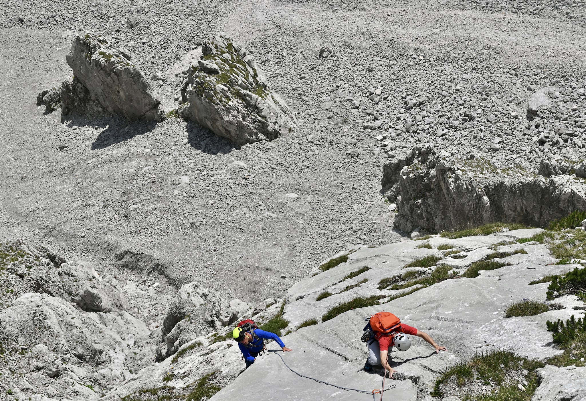
Here is Arno at the end of pitch 2, I think. See the two rock blades at the bottom. They are a good marker for the Luftige Kante.
The crux is balancy friction moves at the bottom of a limestone slab with water runnels. Here, Arno starts the crux...
and here, Markus starts the crux whilst Arno has reached the part where the runnels are deeper with better holds.
After that easier climbing on an airy edge...
... higher and higher above the Dammkar below. 
At this point the ridge turns into a blade of rock. 
After 7 pitches, the Luftige Kante ends on a grassy bealach. Descend left a bit for a 2 x 60 m abseil or scramble to the top. 
The second abseil steeply descends into a stone chute which is a pain to descend. 
Further down for a beer or "Helles" at the Dammkarhütte whilst a thunderstorm was building. 
However, it only rained moderately and so we were soon in Mittenwald for an ice cafe & coffee. I can definitely recommend the Amarena spaghetti ice first for taste and second for putting some weight on!
HW