Sunday, 28 May 2017

Wilder Kaiser, Fleischbank, Dülferführe VI, (V/A0)

Munich is an Alpine city with a mountaineering history. One of the Munich Legends is Hans Dülfer. He went to Munich to study first Medicine, then Jura and later Philosophy. On the 15th of June 1912, Hans Dülfer and Werner Saarschmidt climbed the East face of the Fleischbank. The Fleischbank is a huge limestone cliff that is part of the Wilder Kaiser mountain range, just 60 miles away from Munich. The climb is now graded UIAA VI. In UK terms this means that you should be solid at E1 and you need to be able to climb fast given that the route is 14 pitches. The topo is below. Note the three traverses: the easy left-to-right entry traverse, the right-to-left VI- traverse and another right-to-left V- rated third traverse. In recent years two bolt belays have been created and there are a few crux bolts plus pegs where you need them. We additionally took 14 quickdraws, 4 slings, nuts and cams. 
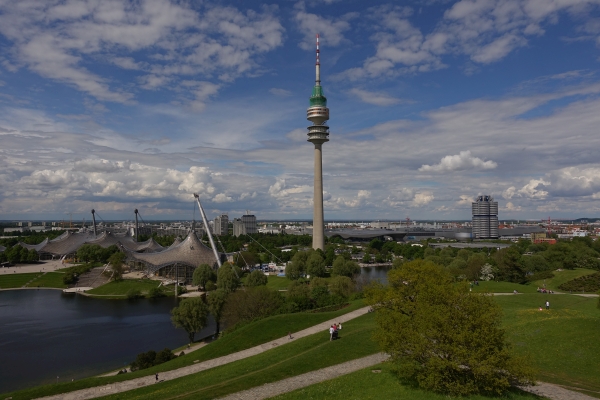
Arno Alpi and I, two Brexit refugees from Scotland (aka the Clova Clova boys), are enjoying our weekly outing to the superb Thalkirchen wall. And they have Pizza & beer, too, so what's not to like! We also did plenty of cycling and wee outings to the Klettergartens (climbing areas) staying nicely within our comfort zone. But we decided that we needed something bigger & badder. So why not try the Dülfer?

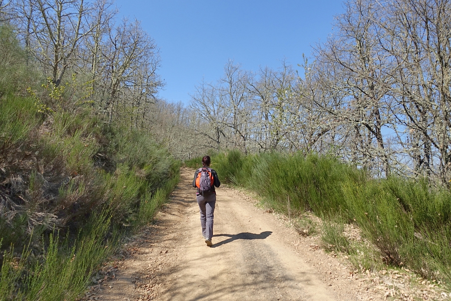
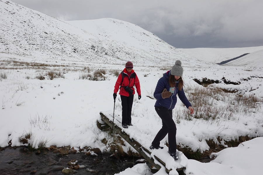
Summer came in late May and so I picked Arno up at the S-Bahn station in Unterhaching at 7 am. Within little more than one hour we arrived at the Griesneralm. You do not need to look for long to see climbing opportunities... 
There are two paths to reach the high glen between the Fleischbank on the West and the Predigtstuhl on the East. We chose a mini via Ferrata and then continued up snow fields. 
Soon we reached the emergency telephone which is located just above the start of the Dülfer. Here another photo of the line. Be sure that the forecast is strong & stable and that your state of mind is strong & stable before starting. If it isn't and if you end up in a thunderstorm then expect the mother of all epics because bailing out is difficult after the second traverse.
 There was another team aiming for our route but they were too far left and seemed inexperienced. So we started first. Here is Arno on the easy pitch 2 on the easy initial traverse... 
 ... and here he is belaying me at the end of pitch 2. 
Pitch 3 is V+ and is tricky with a backpack. Pitch 4 is graded VI- and involves a polished hold, an overhang, and a long reach. My rucksack was too heavy so I clipped the rucksack into the other rope, just about managed it and then pulled the rucksack up after me. This felt hard for VI- as I have climbed several VIIs at the Thalkirchen climbing wall. 
 There is a wee bit of grass here and there but the climbing is on solid rock. 
 Arno then got the up-and-traverse pitch. Here some steep but doable bridging...
 ... with rests.,,
 ... and here he is on the traverse. There is an aid rope dangling off a peg. Don't tell anyone but we went for the French free presumably in line with the 1912 ascent. 
On the other side of the glen is the Predigtstuhl with at least one team on it. 
 ... and high up in the sky a team on "Vertical Tango", IX. I have never seen a team so way out in space. They seemed almost directly above us. 
Here is Arno doing an easier pitch, probably pitch 9, which leads up to the highest traverse. 
In case you are unsure whether you are right or not, someone had nicked a "Dülferstrasse" sign in Munich and added it to the traverse. 
 Here is the Arno at the beginning of the traverse. It is graded V- but practice a bit on the Etive slabs because it is long with a few delicate moves and plenty of exposure. However, again pegs and shiny bolts when you really need them. 
 Here is Arno trusting the friction of his climbing shoes...
 ... and here he is going for a more dynamic move. 
 A little easy climbing and then the two exit pitches that cover the exit chimneys. The second to last is graded VI- and we both did it free. Knee jams helped. The last pitch is very steep, the holds are less than perfect and we both went for the French free. With a rucksack, you need to be solid at E2 to have a chance of freeing it. 
Here is Arno bridging just before the trickiest bit. 
 And whilst it is not really high, you are 2000 m up, so the pumpy moves will make you breathe hard. Here is Arno finishing the route. 
 Some scrambling to the ridge and then the summit of the Fleischbank.
 After that descend on a marked path westwards. There is one bit where you can abseil. 
 After the descent re-ascent to the bealach, move a wee bit higher to a notch. Aways follow the red signs on the rock and you will reach the abseil piste. Four abseils on good bolts will get you to the floor of the glen. After that 90 min of descent to the Griesneralm. 
We had Radlers (Shandy's) at the Griesneralm and at 1 am I was back home. 

In total awe that Hans Dülfer and Werner Saarschmidt climbed this in 1912. If you manage to get up the Dülfer then you will agree!
HW

Sunday, 14 May 2017

Munich cycling bliss

Munich is probably the sports capital of Germany. Olympic Games in 1972, Football World Cup in 1974, fantastic skiing areas close by, tonnes of opportunities for mountaineering, and many sports shops. Not all Münchner and Münchnerinnen do sport but many do and one of the favourite sports is to cycle esp as a Mamil or Mawil through the Bavarian countryside. Arno and I are Mamil's and so two weekends ago we went for a ride down the bonny Isar. The Isar originates in tthe Karwendel range and goes straight through Munich to eventually feed the Danube. Here is Arno on one of the many bonny trails on the Western bank of the Isar... 
 ... and here he crosses a meadow... 
 ... before changing to the Eastern bank of the Isar and the Isar canal...
 ... to arrive for a Bavarian rest in the Pupplinger Au. Note the bikes in the background. Mamil heaven. 
 Here on the way back on an almost car free tarmac road at the side of the Isar canal. 
 ... and back up to Grünwald and then home. 
 Here is me on my Marin cyclocross, all Mamil'd up. 
Near my home is a tarmac track through the Perlacher Forest. This track turns into a cycle Autobahn during weekends as it connects Munich city to the bonny hinterland that leads up to the Alps.
 You can see the snow capped Alps from my new home in Unterhaching. 
 Two weeks later Ana came and we cycled into town and to the site of the Olympics and football world cup in the 1970s. The tent-like stadion and the sports halls were designed by Frei Otto. Great architecture that still works today. 
 Here once again the Isar. The banks turn into the playa de München in summer with plenty of BBQ and beer drinking in the evening light.
 On day two we cycled South from Unterhaching on mother's day. 
 Many cyclists on the road...
 ... and we passed again the Pupplinger Au like Arno and I did two weeks ago. 
 We cycled to the Schaftlärn Monastery and back past yellow fields of yellow rapeseed. 
Good to be a cyclist in Munich!
HW

Monday, 17 April 2017

Semana Santa in Leon, Pena Corada (Pina Colada)

Ana and I spent Easter 2017 in Leon in Northern Spain. The weather can be changeable at Easter but this time the weather could be described interchangeably as a) a Scottish heatwave, b) Munich early summer or c) Spanish spring. Leon lies on the Meseta, the high plateau of central Spain. To the North is the Cordillera Cantabrica including the Picos de Europa, a mountain range that separates the wet Costa Verde from the drier plateau.

During our stay Ana and decided to walk Pena Corada (Pina Colada to make it easier) described in the Cicerone guidebook of the area:
https://www.cicerone.co.uk/product/detail.cfm/book/363/title/walking-in-the-cordillera-cantabrica#.WPSQatKGPIU

Spring had also arrived in the mountain village of Fuentes de Penacorada, the starting point of our walk. 
 Here is Ana starting the walk...
 ... which first descends to a stream and then climbs the other side. 
After that, we walked up the hillside following no tracks. In the following photo, we have nearly reached the ridge. Fuentes de Penacorada is the village just above and left of Ana in the distance. 
 We followed the ridge with views of the endless Meseta to the right and the other hills of the Cordillera Cantabrica to the left or northwards. 
 Here the view North from the top. The hills of the Picos de Europa are still a long way to go. 
 The way down was not well described in the book, so more scree dodging than necessary. And then finally easier walking with some heather. 
 A great day. 

Leon is well worth visiting as it has a large old town and is a good, cheap base close to the Picos de Europa and other walking and climbing areas. It is also on the Camino de Santiago, the pilgrim's path of Northern Spain to Santiago de Compostela. Leon has a beautiful cathedral...
 ... a house built by Gaudi...
 ... and a palace by the river. 
 I used our stay to develop my running either around the city (16 km) or along the river. There are some good dirt tracks near the river... 
 ... and I used the opportunity to build up my vitamin D levels. 
 Leon is especially known among the Spanish for its Semana Santa, the week leading up to Easter. During that week there are processions where folk carry huge boxes with Christian sculptures through town. Here are the carries of one sculpture. 
 Here is a sculpture of Mary during one of the largest processions on Good Friday. 
 During Semana Santa, the town is crowded (so book by Christmas if you wish to visit) and the locals and tourists join the huge number of bars that serve free tapas with every drink. Not really a pre-Easter fasting period in modern Leon. 

We also enjoyed time in a Finca outside Leon with a Spanish-English Euro couple that are friends of Ana. They live in Barcelona and visit their Finca in Leon during holidays. Great Spanish spring light...
 ... and a parrillada (BBQ). 
Leon in spring, early summer or autumn is highly recommended if you want to climb, walk, take part in Spanish life & do some culture. Fly either to Madrid or Asturias and it is best to rent a car. 
HW

Lago di Garda

Munich is located just North of the Alps. This means that when the weather is poor I can just jump in the car and just 4 h later I am at the Southern end of Lago di Garda, just outside Verona. As it happens, Marco, a friend from home lives here with his Italian wife and children. At the end of March, I decided to travel into the Italian spring for some cycling. During the second day of my stay, I decided to try the Monte Baldo route, a 125 km circle with nearly 2000 altimeters. I set off at 7 am with no food or coffee and after plenty of climbing crossed the conty border from Verona to Trento. 
 The Monte Baldo road was officially closed but I carried on and it seemed to be OK initially...
 ... but not higher up! I had to push my bike for probably 3 km. 
 Even higher up spring signalled its arrival. 
 After 80 km I descended towards Arco, ate some food and decided to cycle around the whole lake, a 180 km round. Here is Bella Italia at the Northern end of the lake. 
After that food, beer and a leisurely journey back the next day...
HW

Glen Lethnot in February

In February I visited Scotland. Ana, Sharon, Paul and I decided to go for a short hill walk in Glen Lethnot, the least visited of the Angus glens. Here is a website that describes Glen Lethnot: http://www.menmuir.org.uk/lethnot/. We were lucky as winter conditions started only at the car park at the end of the road. 
We walked North, following the glen.  
 Finally, some Scottish winter for me even though it was just a short hill walk. Here is Paul. 
 We were sheltered from the strong winds even as we ascended...
 ... and whilst having our lunchbreak. 
Good to be back in the Scottish arctic.
It was soon over as we returned to the car. 
HW

Sunday, 26 February 2017

Ski touring in Austria: Brunnenkogel

A big advantage of Munich is that it is close to the Alps. In fact, from my village, I can see the snow-capped Alpine peaks on my way to the S-Bahn. But because of work and also because I did not have a climbing partner it took some time to get back into mountaineering. But Arno, a fellow Brexit refugee who was my climbing partner in Scotland has now moved to Munich, too. So this Sunday Arno and I decided to do the sub 2 h drive into Austria to ski tour & scramble to the South of the Inn valley. Here is Arno joining the ski tour trek.
 We aimed for nearly 1800 altimetres to do the "hinterer Brunnenkogel". Here we are higher up and above Arno is the North face of the "vorderer Brunnenkogel"...
 ... and here it is in more detail. Tasty! 
 Here another photo with Arno below for a size comparison. It does not look too difficult but certainly long especially when considering the walk in. 
 We aimed for the "hinterer Brunnenkogel" which is to the left of Arno. We skinned up to the Bealach only to discover that there was a long trek of steep, quite stable but often bottomless, semi-bonded snow that did not take our weights. 
 So we were swimming up altimeter after altimeter, a skill well trained in Glen Clova and elsewhere. Here is Arno in a spot where it wasn't deep. 
Finally, we reached a ridge and scrambled for nearly an hour to reach the top. After that a slog down to the skis, skins off and with tired legs the slide to the bottom with sections that offered a tremendous opportunity for skill development or extermination (like the forest at the bottom). Good to be in mountaineering mode again!
HW