Munich is a cycling city and cyclists like challenges. One such challenge is the crossing of the Alps from Munich to the Lago di Garda. Weather, people, food, culture & landscape: everything changes from bonny Bavaria via Alpine Austria to the almost Mediterranean Lago di Garda.
On 16.7.2021 at 3.30 h a couple of cycle lights appeared. The cyclists came from the Säbener Platz and I waited for them at the Kugler Alm. On the bikes were Chrissie, Frank, Ferdinand, Felix and Martin. I joined and we were soon cycling on nearly dry roads to the Tegernsee. A super special thanks from all of us goes to Jens who drove the support car and to Frank who organised the trip. Our plan was to cycle via the Achenpass and Achensee before descending into the Inn valley. From there we were cycling almost to Innsbruck to take the Roman road to reach the Brenner road below the motorway that connects Austria to Italy. From there a long descent to Sterzing and Bozen/Bolzano and then many, many miles on a sometimes fantastic and sometimes bad cycle path along the Etsch/Adige to the Lago di Garda. This is the Strava track of the tour:

Here is the first selfie at the Tegernsee with the team. Just after sunrise and the spirits are high. At this stage do not do math because it is 50 kilometres down (which sounds OK) and 315 kilometres to go (which sounds terrifying)!

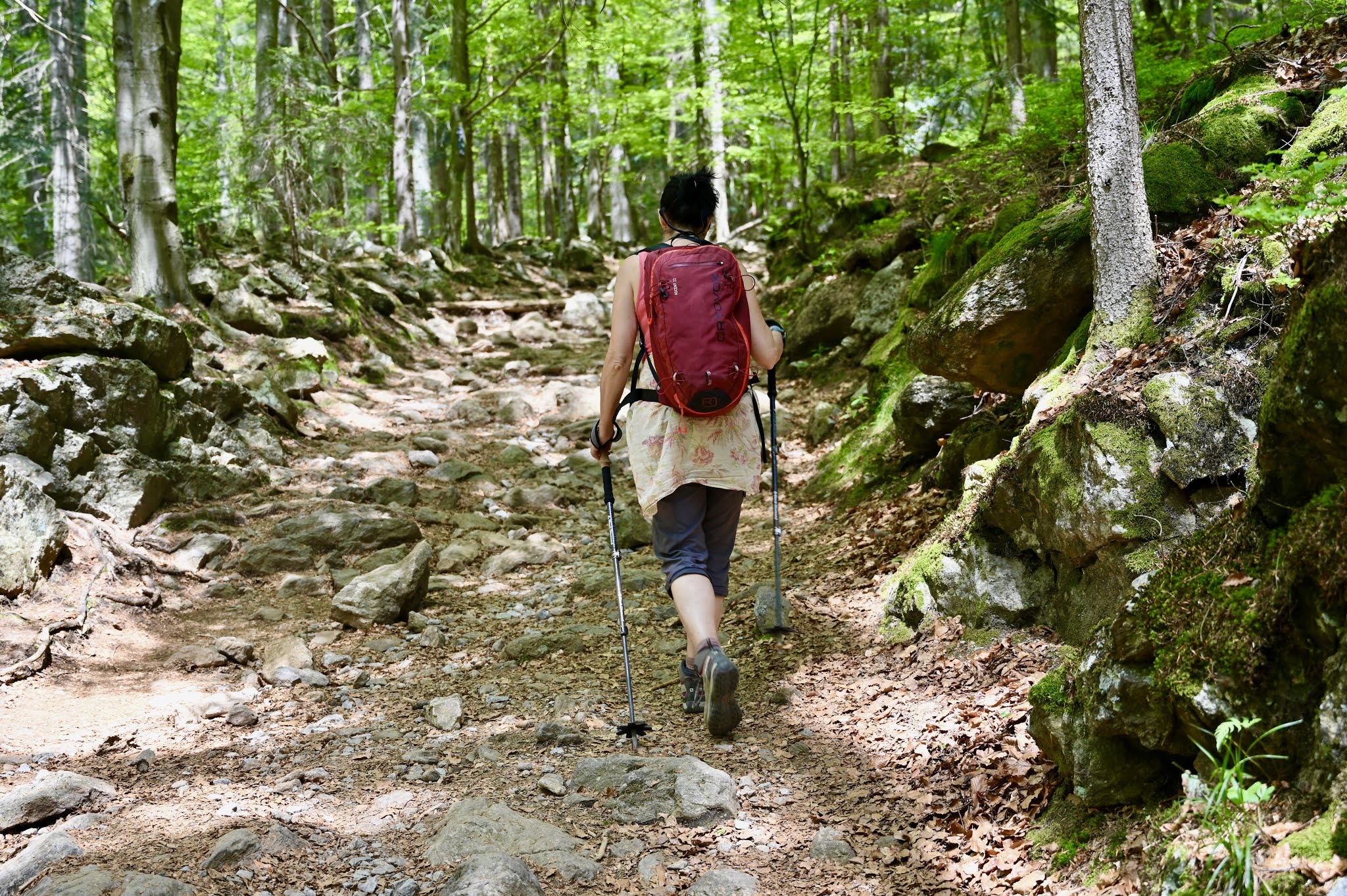
In the Inn valley, support car Jens met us at a bakery. I took my Nikon SLR from the car to take photos from the bike. The cycle paths in the Inn valley are good and Komoot and a GPS make it easy to follow them .... most of the time. The forecast predicted 80-90% rain but on the day we were lucky as it was dry and we even saw some blue skies.

A couple of kilometres before Innsbruck we then took a corner to head South and up towards the Brenner pass. Here is that corner.
Here we start climbing with Innsbruck in the glen below.
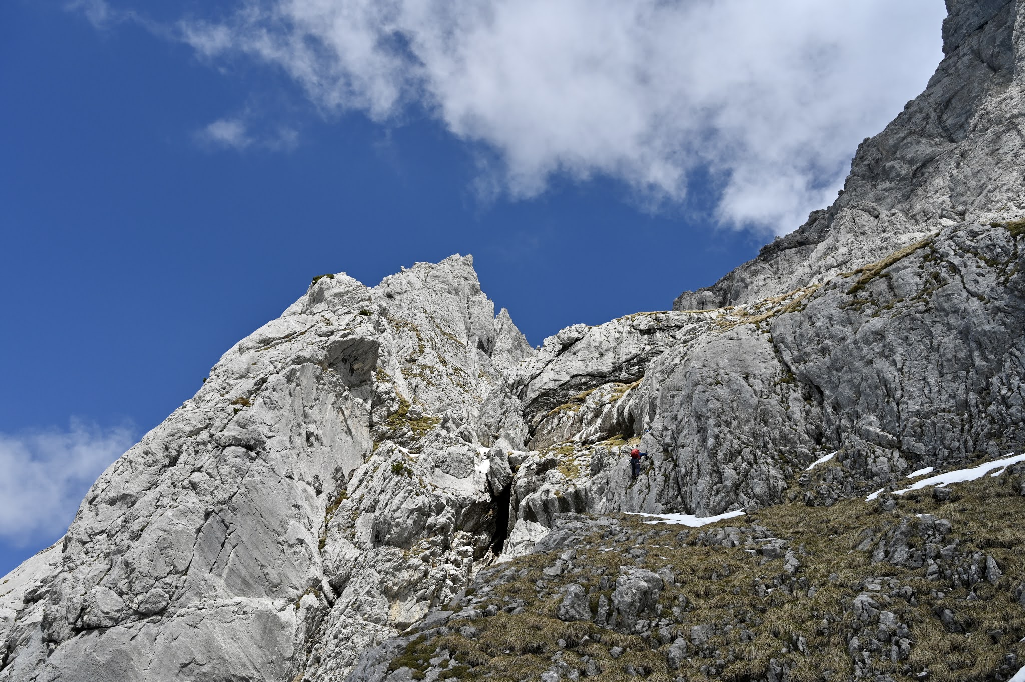
The climb was up to 8% on mostly dry roads. We reached a height of 1000 m on the Roman road.
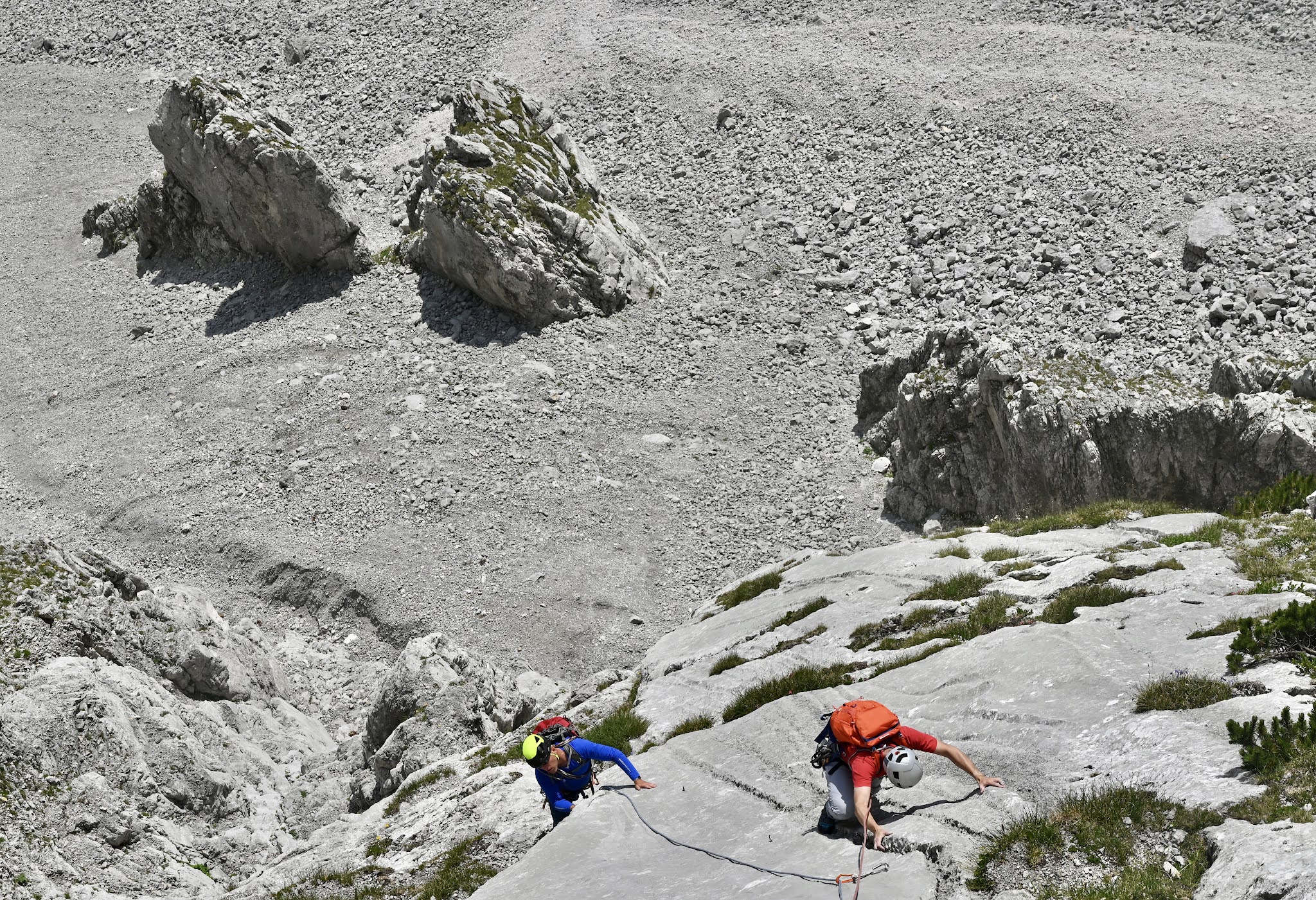
After a lot of up and down we finally reached the Brennerstraße in Matrei. There is quite a bit of traffic on the Brennerstraße with motorbikes, classic cars and others that avoid the Brenner motorway seen at the top right of the next picture. The Brennerstraße climbs at an easy 4% before steepening for the last 2-3 kilometres to the Brenner pass.
Here, Martin climbs that ramp with orange Frank and Chrissie a wee bit behind.
The Brenner is one of the busiest Alpine crossings. It is only 1370 m high (25 m higher than Ben Nevis) and so a natural weakness that allows an easy cross from North to South over the Alps and vice versa. Here is the sign of the Brenner village. It is not a pretty place as a motorway, the old Brennerstraße and a railway line pass through.
After that, we descended into Sterzing/Vipiteno (935 m) and Italy. This part of Italy feels like Austria and the people mainly speak German. We then took the Adige (German Etsch, i.e. the river that goes down this long glen) cycle pass which goes all the way to Verona. This is a big bonus as it takes you away from the Italian traffic.
We carried on to Brixen/Bressanone where we ate pizza al fresco in a bonny restaurant. Here, a photo of Brixen/Bessanone.
Onwards and downwards on the Adige/Etsch cycle path. Some communities have done a fantastic job and the cycle path is a straight line of ultrasmooth tarmac down the glen. Other communities send you left, right, up, down and put a metal gate after a downhill curve just to spice things up a bit and to add some extra mileage. The prize for the worst bit of the Adige/Etsch cycle path goes to Trento/Trient. Up the river north and then the same way back on the other side of the river. Extra distance after 300+ kilometres is always appreciated. Here is one of these curvy bits with a snow-capped mountain in the distance…
… and here is a near-perfect path following the Adige/Etsch.
More photos of that long, long, long Adige/Etsch cycle path…
… which is sometimes flanked by big cliffs. In the glen, there are wine yards and apple trees.
After a couple of hours in the rain, it dried up again and we arrived in Mori at 21 h. Surprisingly we all mostly still felt fine and so we sprinted uphill for the village sign. Frank had booked a double room and a room for four above a pizza place in Mori. Showers and then pizza and beer in the pizzeria below and then to bed. I fell asleep in a picosecond and woke up at 6.30 h.
Mori is still about 15 kilometres away from the Lago and so we jumped on our bikes and cycled to the Lago. On a Saturday and Sunday, many Italians are on their flashy racing bikes. If you are Scottish, please check out photos of Italian cyclists as you are expected to cycle and dine in style. So no huge repair bag dangling below your saddle like the cojones of a Spanish bull. Also if you order pizza or pasta, DO NOT ask for mayonnaise or pineapple and give a tip.
Here is Torbole with a view over the Northern end of the Lago do Garda…
… and here we are sitting on the shore…
… and here my feet are in the water of the Lago.
Here are Chrissie, Martin, Felix and Ferdinand cooling their feet in the holy water of the Lago.
Finally, some practical tips for Germ and Scottish cyclists.
Start: Scottish cyclists can fly to Munich and return from Verona. This is a good option if you can sort out the logistics such a post-ride clothing. In Munich, start or cycle via the Säbener Platz oder the Kugler Alm. These are popular meeting points for Munich-based cyclists and quickly lead out of the city via e.g. Sauerlach towards the Alps.
Finish: For Munich-based cyclists, the limiting factor is the bike ticket for the return train. In summer, they are in high demand so book early. Unfortunately, you will need to book this in person at the Ost- or Hauptbahnhof. Once you purchased your bicycle ticket, book the train ticket. It is <100 EUR and from Rovereto it takes roughly 4 h to return to Munich. Here is the train sign:
Timing: This is a demanding ride of 360 km with well over 2000 m of ascending best done in a group. Typically start in-between midnight and 4 am. If you have bad luck then there is a headwind all the way up the Adige/Etsch valley and it will be a battle royal for a solo rider and expect to arrive in the dark.
Training: If you attempt this you should have cycled at least one 200 km ride with 2000 m of ascending. Also, if you go in a group then ensure that you are comfortable cycling in a group because the last thing you want is a halfway crash.
Nutrition: The key is to consume carbohydrates as running out of carbs after 300 km will hit you like a steam train. My main meals were porridge at 2.30 h, a cheese roll and Nussschnecke (sweet pastry) at around 7 h in Austria, a pizza and salad washed down with an alcohol-free beer at 14 h in Brixen. Additionally, I had Bananas (rougly 30 g of carbs per Banana), Powergel carb & caffeine shots, and Seitenbacher „saurer Apfel“ bars (30 g of carbs). Generally aim for at least 30 g of carbs per hour and add carbs once you feel that your energy levels are going down. We cycled on a cool day but on a hot, 30+ degree day hydrating and keeping your salt balance will be essential. Drink when thirsty but avoid overdrinking as this can cause hyponatraemia. If you sweat a lot then eat salty food such as crisps, drink electrolyte drinks and consider taking salt tablets. On the photo below are some of my carb & salt shots. The tablets are Addition salt tablets. The PowerBar PowerGels are Cola-flavoured carb snacks with caffeine which are like Haribo sweets. The Seitenbacher sour apple bar works well for my stomach and is not overly sweet. Also I find bananas easy to digest.

Here is a scientific review article on ultra-race nutrition. They recommend 30-50 g of carbohydrates per hour: https://jissn.biomedcentral.com/articles/10.1186/s12970-019-0312-9
Kit: The trip is best done on a flashy carbon racing bike with fast carbon wheels. The bigger your tires, the heavier your bike, the bigger your belly, the harder it gets. If you do not have a support car, take a bike packing bag (the Ortlieb bag seems really good) for a minimum of food, clothes, repair kit and money.
That‘s all folks. If you have a question, send an email. We will certainly do something like this again! This is the plan for next year: https://www.komoot.de/tour/423291699